top of page

MAP ROCK ACCESS IMPROVEMENTS

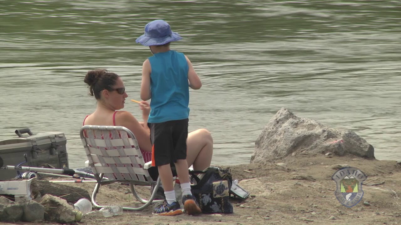
In spring 2018, Idaho Fish and Game's Southwest Region completed a $111,000 renovation project at the Snake River's Map Rock Access site.  The improvements will benefit anglers, hunters, recreationists, and wildlife habitat, and include a new boat ramp, parking areas, outhouses, solar-powered lighting and walk-in access to the river.  Map Rock Access is located on the Snake River south of Nampa, about 6 miles northwest of Walters Ferry along Map Rock Road.

​

Read more about this project here, or watch the video below to learn more.

​

​

​

​

​

​

​

​

​

​

​

​

​

​

​

​

​

Accessing the Snake River - Southwest Idaho

Accessing the Snake River - Southwest Idaho

Play Video

2 states. 206 miles. 1 river.

The Idaho Oregon Snake River Water Trail Coalition is a 206 mile water trail along the Snake River in Southwest Idaho and Eastern Oregon for people to explore, respect and enjoy. A water trail is a water route that provides recreational and educational opportunities for motorized and non-motorized boaters and commercial opportunities for river communities. This trail begins at Three Island Crossing State Park, Idaho and ends at Farewell Bend State Park, Oregon.

​

Our mission:  The Idaho-Oregon Snake River Water Trail promotes river access and recreational opportunities that benefit communities, tourism and preservation of natural and cultural resources through a network of partnerships.

Subscribe to Our Newsletter

CONTACT 

Alex Eells, Water Trail Coordinator

alex.eells@canyoncounty.id.gov

  • Facebook Social Icon
  • Instagram Social Icon
bottom of page